

Algonquian Village Educational Graphic
Algonquian Village Educational Graphic
Below is a clear educational structure you can use on your website or teaching materials to explain a traditional Algonquian village layout. This format works well for:
- Website pages
- Cultural education graphics
- School teaching materials
- Museum displays
Algonquian Village Layout (Educational Overview)
Algonquian communities in the Northeastern Woodlands traditionally organized villages around shared resources, communal living structures, and surrounding agricultural land. The layout balanced community cooperation, environmental stewardship, and defensive awareness.
1. Longhouses and Wigwams
Residential structures formed the core of the village.
Typical features:
- Wigwams — smaller dome-shaped family homes
- Longhouses — larger communal dwellings for extended families
- Frames built from bent saplings
- Covered with bark, reeds, or woven mats
Homes were usually arranged in clusters around a central area.
2. Central Council Area
The village center served as the gathering place.
Functions included:
- Community councils
- Ceremonial gatherings
- Storytelling and cultural teaching
- Decision-making among leaders and elders
A council fire often symbolized unity and shared responsibility.
3. Palisade (When Needed)
Some villages included wooden defensive palisades, particularly during periods of intertribal conflict.
These consisted of:
- Tall sharpened wooden posts
- Guard openings or entry gates
- Elevated lookout areas
Not all Algonquian villages required palisades.
4. Agricultural Fields
Villages were usually surrounded by cultivated fields.
Primary crops included the Three Sisters:
- Corn (maize)
- Beans
- Squash
These crops supported each other agriculturally and formed the basis of the food system.
Fields were typically located just outside the main settlement area.
5. Food Storage Structures
To preserve harvests and winter food supplies, villages used:
- Raised storage platforms
- Bark-covered storage huts
- Underground pits for preserved foods
These protected food from moisture and animals.
6. Rivers and Water Access
Most villages were located near water sources.
Waterways provided:
- Drinking water
- Fishing resources
- Transportation routes
- Trade connections between communities
Canoes were commonly used for travel along rivers and lakes.
7. Hunting and Forest Areas
The surrounding forests supported hunting and gathering.
Common resources included:
- Deer
- Small game
- Fish and shellfish
- Wild berries and nuts
- Medicinal plants
Villages maintained sustainable seasonal use of these areas.
8. Cultural Spaces
Certain areas were used for spiritual or ceremonial practices.
These might include:
- Sacred fires
- Dance grounds
- Teaching areas for oral traditions
Such spaces reinforced cultural identity and community cohesion.
How This Can Appear on Your Website
This graphic would fit well on a page such as:
Cultural Teachings → Traditional Village Life
This aligns with the cultural education sections described in your site structure.
Institutional Context for INO
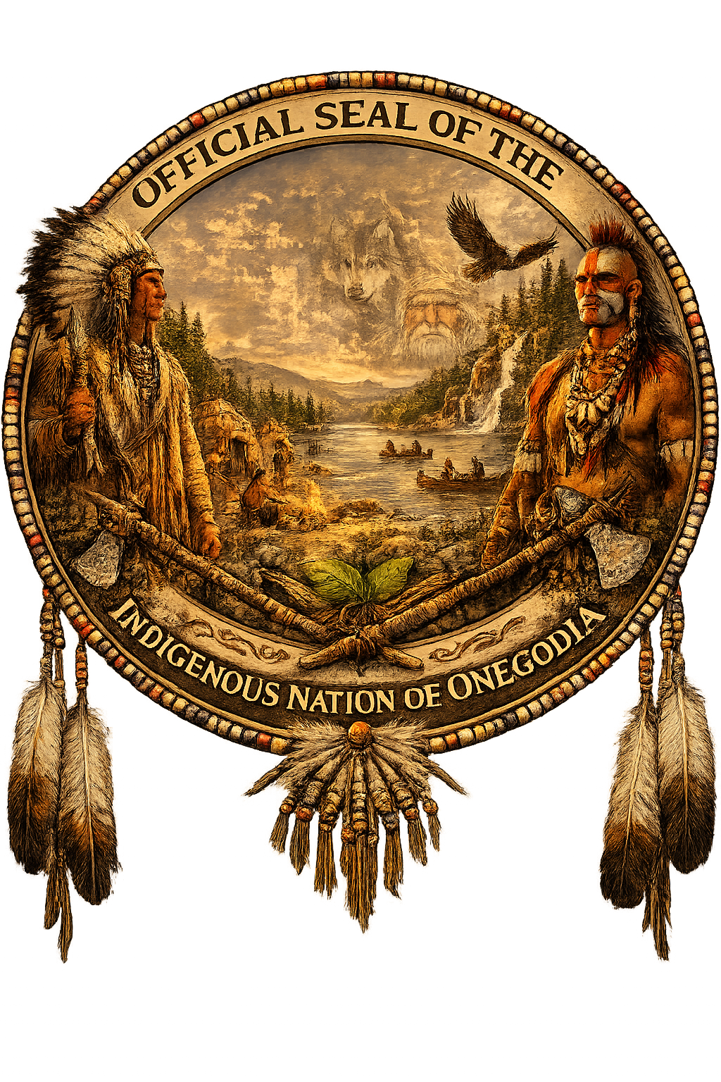
The Indigenous Nation of Onegodia operates as a religious society organized under Connecticut law, which allows the organization to maintain cultural teachings and community programs within its religious and cultural framework.
Educational materials like this village graphic support cultural preservation and public understanding.